 |
|
||
|

|
|
Geographic Information System (GIS) and Public Policy Research: Development, Democracy, Conflict, and the Environment GIS and Public Policy Team: Alok K. Bohara, Professor, University of New Mexico
Keshav Bhattarai, Professor, Central Missouri State University Grant Harris, US Fish and Wildlife Sarah Masek, University of New Mexico Steve J. Archambault, University of New Mexico Naresh Nepal, University of New Mexico Robert Fonner, University of New Mexico Hari Katuwal, University of New Mexico Geographic Information System has become a valuable tool to map digital data. In addition to creating visual display of fine images, the GIS tool can be used to link various types of socio-economic data with the topographical and environmental information. Disease mapping, food security, habitat range analysis, poverty mapping, migratory movements, industrial locational analysis, landuse patterns, environmental degradation, and network analysis are just some examples. Nepal Study Center is developing GIS capability to link, correlate, and assess various behavioral relations. The goal of this program is to assist develop better public policies, including in areas of economic and political devolution and conflict resolution. Our heavy focus is in spatial analysis, modeling, and drawing policy implications. Some GIS-related ongoing projects: food security and natural capital; habitat modeling; Bayesian disease mapping Development Regions 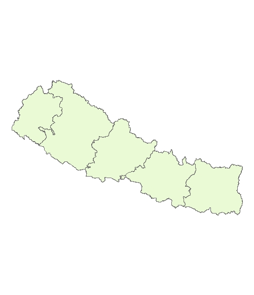 Zones 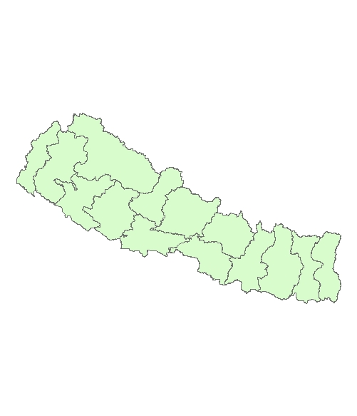 Districts 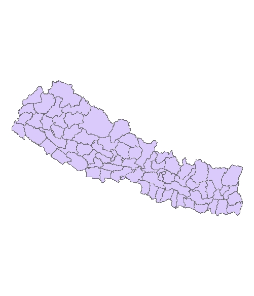 Villages 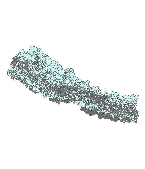 Ecological Belts 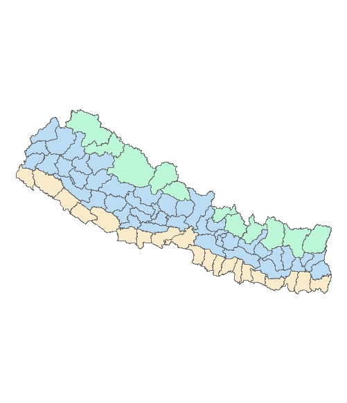 Urban Centers 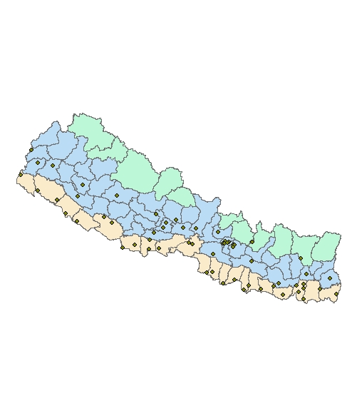
|
| Home | Objectives | Friends | Giving | Announcements | Feedback | Links | Photos | Contact Us | |||
| Copyright © 2005 nepalstudycenter.unm.edu - All Rights Reserved. |